We provide technology-based solutions to improve the lives of the inhabitants of the cities of Latin America and the Caribbean. We offer open source tools to support every step of the urban planning process, and produce knowledge about the best management practices for smart cities.
The widespread use of the Internet, which in Latin America and the Caribbean reaches 71.5% of the population, opens an opportunity to transform urban centers, where more than 80% of the region's inhabitants live, into smart cities people-focused, innovative, competitive, attractive and resilient.
A toolbox with a set of open source implementations to support each step of the urban planning process.

A package of solutions that automatically solves the accessibility measurement.

A tool to estimate the quantitive and qualitive housing deficit through data and images.

An Application to combine and download information from the Open Street Map collaborative platform.

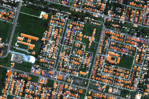
A machine learning model that uses satellite imagery to analyze existing buildings.

A model that uses physical and social maps of an urban area to automatically predict different growth scenarios.

A set of open source tools to create, conduct, and systematize surveys from mobile devices with the Android operating system.

An R package that allows to analyze and visualize the access to urban services on a geographical basis.

An algorithm that allows to automatically map the location of informal urban settlements through the analysis of satellite images.

A guide that compiles the main conceptual definitions of what a Smart City is, the technological tools that can facilitate the transition from traditional to smart cities, and the cases of cities from around the world that can be replicated as best practices.

A comprehensive guide tailored for local governments seeking to enhance their governance using big data. This resource focuses on an innovative tool, the Urban Big Data Maturity Model, which facilitates the assessment of initiatives across five pivotal functional domains: open data, data ecosystem cultivation, advanced analytics, data-driven decision-making, and digital urban services.
